US Map Explorer
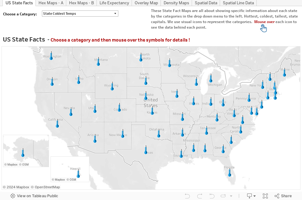
See the US in Layers of Geographic Data! Click on the different tabs to see how different types of maps can be used to represent different types of data. We explore everything from points of interest, to weather data, to national parks and rivers, and even look at how zip codes are distributed around the United States. Try all the different options in the drop downs on the tabs.